Parts of the UK are preparing to swap the umbrellas for snow shovels as the Met Office has forecast where snow could fall this week. After one of the mildest starts to November on record, temperatures look as though they are about to take a turn, with parts of Scotland expected to see snowfall as temperatures finally begin to feel wintery.
After the recent warm spell, including the warmest Bonfire Night on record, the Met Office has warned that colder air is heading over Britain, bringing a noticeable drop in temperatures and even the potential for snow. Yellow weather warnings for rain have already been issued for Tuesday, covering parts of Wales, southeast England and southwest Scotland, with heavy rain forecast to last from early morning until midnight. However, as the next day rolls in, a blast of cold air is set to make its way down the UK from the north, bringing with it some icy conditions that could turn that rain into snow.
A Met Office spokesperson said much of Scotland will be under the influence of this cooler air, leading to below-freezing overnight temperatures and a risk of snow over higher ground.
The spokesperson added: “By Wednesday night, much of Scotland will be in cooler air moving in from the north. This will bring below freezing overnight temperatures, as well as the risk of some snow over higher ground.
“Those across England, Wales and Northern Ireland, as well as lower levels in most of Scotland, will continue to see precipitation falling as rain.”
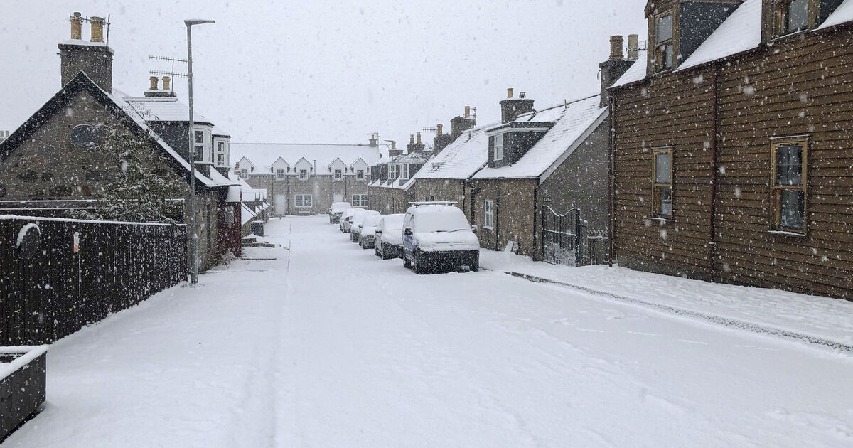
While most of England, Wales and Northern Ireland will likely continue to see rainfall, some of the first snowfall of the season is expected in flurries across northern and central Scotland, particularly in higher areas such as the Highlands, which could wake up to a dusting of snow by Thursday morning as the cold Arctic air settles in.
Met Office meteorologist Simon Partridge told The Independent there is “potential” for northern parts of the UK to see snowfall towards the end of the week.
“There is the possibility of snow by the end of next week and into next weekend,” he explained. “There are lots of different computer models and they all run multiple times a day, but some of them are coming up with some cold air coming in from the north that might result in some snow across most likely Scotland.”
But the weather expert did warn that conditions could easily flip the other way and remain warm and mild, similar to this week.
He added: “At the moment, it looks like there is warm air trying to come in from the south and cold air coming in from the north. It won’t take a lot for the warm air to be the one that comes out on top which would mean it will probably be very similar to this week.
“Currently, any chance of snow looks limited to Scotland. But just like that warm air might move in, there’s a chance that cold air might come a little bit further south. It’s still all to play for, and we will see how the forecast develops over the coming week.”