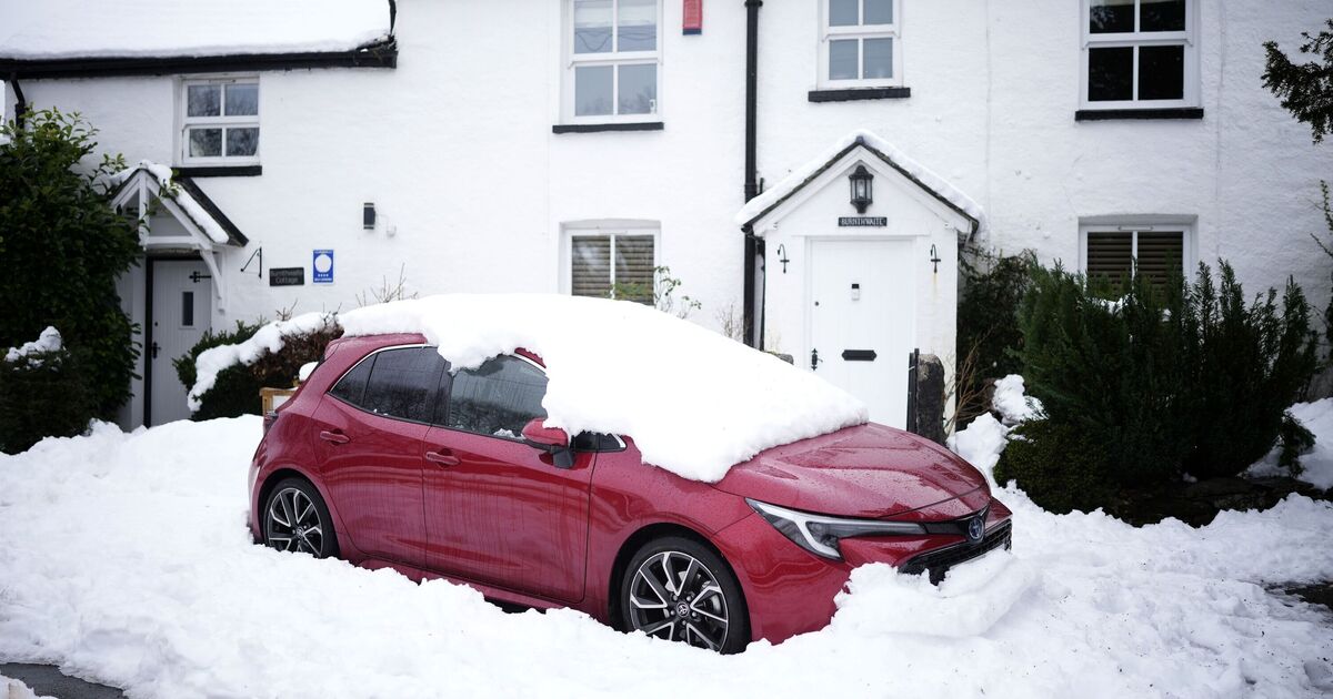
Heavy snow is forecast to fall across multiple parts of Britain this week as temperatures plummet amid a blast of arctic weather.
Widespread cold conditions and some wintry hazards are predicted across the country. The UK Health Security Agency has issued a cold weather warning, effective from today (Monday), which will remain in place until Friday. It covers the East Midlands, West Midlands, North East, North West, and Yorkshire and the Humber.
The Met Office has confirmed that snow and ice are possible following a period of above-average temperatures, with high pressure expected to bring widespread cold conditions across the UK.
It says the most significant factor bringing in the colder weather is a change in wind direction.
The UK recorded its coldest night since March on Saturday when temperatures dropped to minus 7C in Tulloch Bridge in the Highlands.
Met Office Deputy Chief Meteorologist Dan Holley, said “high pressure to the northwest will drive a cold northerly flow from the Arctic across the UK” this week.
He added: “This will bring much colder conditions than of late and, whilst generally drier than recent days, there will also be a risk of wintry hazards, such as snow and ice.
“There will be widespread frosts across the UK, with temperatures dipping as low as -7C in places, and daytime temperatures staying in single figures across the country. Couple this with a brisk northerly wind, and there will be a marked wind chill.”
According to the forecast site OpenWeather, the snow could arrive in parts of Scotland and the North East on Monday.
Then, from Tuesday, heavy snowfall is expected to hit parts of the UK. Snow is predicted at multiple locations, ranging from as far north as Orkney, off the coast of Scotland, to as far south as Bodmin in Devon.
You can check the forecast using our interactive weather map to see if snow is expected near you.
As winter conditions set in, the RAC has warned motorists to take extra care on the roads.
RAC Breakdown spokesperson Alice Simpson said: “There’s potential for freezing temperatures to make roads hit by heavy rain very slippery with a chance of ice.
“We expect breakdown volumes to be around 10% higher than what’s normal for this time of year, which equates to around 1,000 more people needing our help each day.
“Normal indicators of autumn, like fallen leaves on the road, can also become very hazardous in icy conditions as they create an extra layer between tyres and the road surface, increasing the likelihood of skidding.”