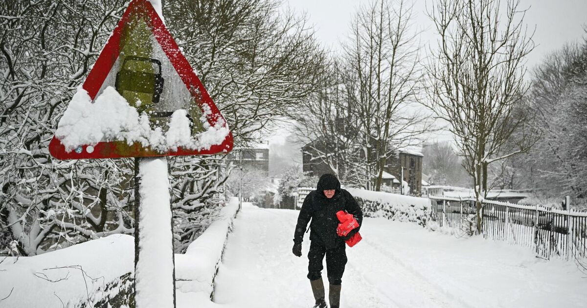
Britain is set to be hammered by a new ‘Beast from the East’ and five days of snow just hours after Christmas Day. The latest weather maps indicate parts of the country will be hit by wintry conditions from December 27 to 31, as temperatures plunge to -6C as bitterly cold weather engulfs millions of Brits.
According to WXCharts weather maps, East Anglia, the Pennines, and even some areas in the south-east are likely to experience snowfall. The flurries will begin to hit the country around 6 am on December 27, with areas around Birmingham and Stoke-on-Trent initially witnessing the snow. However, by the afternoon, snow coming in from the east will settle in the UK, the maps have suggested. By 6pm, the snow will settle around areas near Gloucester, Newcastle, and Dundee.
By midnight, layers of snow are likely to gather around Scotland, with parts of Dundee and Edinburgh to be the worst impacted.
Wintry weather is expected to cover areas ranging from Aberdeen to Stoke-on-Trent as the cold weather continues to grip the entire country, according to the maps.
The weather maps from WXCharts also turn icy blue on December 30, showing temperatures could plunge to as low as a bitterly cold -6C.
At around 6am, central and northern Scotland could wake up to the coldest weather, but the maps suggest the sub-zero temperatures will quickly spread southwards into England and Wales too.
The Met Office’s long-range weather forecast between December 21 and 30 reads: “Unsettled conditions are likely to continue at first, with low pressure probably centred somewhere to the southwest of the UK, whilst high pressure tries to nose in from the east across northern areas.
“This means a broadly easterly flow becoming established, whilst periods of rain or showers become increasingly confined to southern or southwestern parts.
“With time, high pressure is signalled to become rather more dominant, with more in the way of dry, settled weather anticipated. With this, temperatures will probably be lower a little compared to recent weeks, closer to or perhaps a little below average for some.
“Overnight frost and fog or freezing fog could become more widespread, though any particularly cold conditions look unlikely at this stage.”