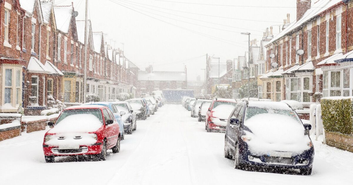
The festive period may have you glad to be tucked up indoors, as new weather maps suggest the UK could be in for a chilly and snowy end to the year. According to a brand new WX Charts map, temperatures could plunge to -3C in Newport, Wales, with nearby Gloucester and Cheltenham seeing lows of -2C on December 30. The Brecon Beacons are expected to hit -2C, while Bristol could drop to -1C, and London, Southampton, Ipswich, Thanet, and parts of Sussex may hover around 0C.
Scotland is also set for a frosty Christmas period, with the area of the Cairngorms National Park forecast to see -1C, while the Midlands are expected to hit around 0C. Belfast could experience similarly cold conditions, with 0C predicted. Netweather’s latest map for Saturday, December 27, also shows dark red shading over London and southern England, indicating an 80% chance of snow in the capital at around 6am. Another WX Charts map for New Year’s Day predicts snow around 6pm in Stoke-on-Trent and southern Scotland, including the Scottish Borders.
Separately, the Met Office provides a more measured forecast, noting that wintry showers are possible in some areas but conditions are expected to be “largely settled.”
The Met Office‘s long range forecast for the period of December 24 to January 2 reads: “A gradual transition to more settled conditions is expected, as high pressure builds to the north of the UK.
This will bring a strengthening easterly wind over the Christmas period, making it feel noticeably colder than of late. Whilst there will be a fair amount of dry weather, a few showers will still be possible, particularly across eastern and southern parts which may be wintry in places, more especially over high ground.
“High pressure will likely dominate the weather in the run up to the New Year, slowly drifting to the west. This will maintain largely settled conditions, although with an increasing chance of showery conditions later in the period.
“Temperatures will be below average much of the time, with frost likely where clear skies and light winds prevail.”
The Met Office has previously highlighted how challenging it can be to forecast snow in the UK, especially beyond a short-term window.
Even small variations in temperature, wind direction, or the intensity of precipitation can influence whether an area experiences rain, sleet, or snow.
In some cases, heavy bursts of precipitation may lower temperatures enough for snow to form, while lighter showers can often melt before reaching the ground.
The coldest December in the UK on record, in terms of average temperature, was 2010, with a mean of around -0.9C, making it the lowest since records began.