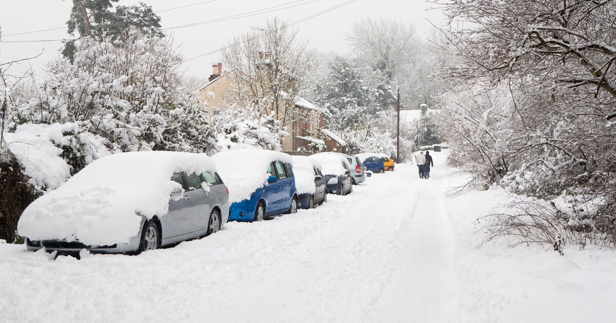
Weather charts have suggested that the UK is in for a huge swathe of snow as temperatures drop to -10C. Scotland, as is usually the case, will experience the mercury at its lowest in the coming days, WXCharts suggests, as minus double figures appear on a map for January 9.
Further south, maps suggest that a huge blanket of snow will loom over the south east, south west, the English midlands and a lot of Wales. It looks as though it will stretch from Devon just into East Anglia and up past Stoke-on-Trent, stopping just before reaching Manchester.
The Met Office forecasts “a mixture of rain, sleet and snow” for January 8 to 10 that will “move across the country at times with a risk of strong winds”. Experts add that Brits should expect conditions to remain cold with frontal systems pushing in from the west.
Meteorologists look at three main indicators when forecasting snow, the Met Office adds: where the air has come from, very heavy precipitation and when warm air meets cold air.
Specialists add: “If air has come from a warmer area, or has spent a long time over mild water, then it would be harder to generate snow.
“If it’s coming from a cold region, often the north, then there’s a chance of snow being a possibility.”
Those in the know highlight that most precipitation in the clouds starts off as snow or “supercooled” raindrops, but this often melts before it hits the ground.
“However, in winter, intense precipitation can keep temperatures lower closer to the ground, increasing the chance of heavy rainfall turning into snow,” the Met Office says.
“Presenters often talk about weather fronts between warm and cold air,” it adds.
“In the winter, these fronts can introduce the moisture and conditions for snow to fall.
“There’s often a fine line between who sees snow and who sees rain, which is one of the reasons forecasting snow can be difficult.”