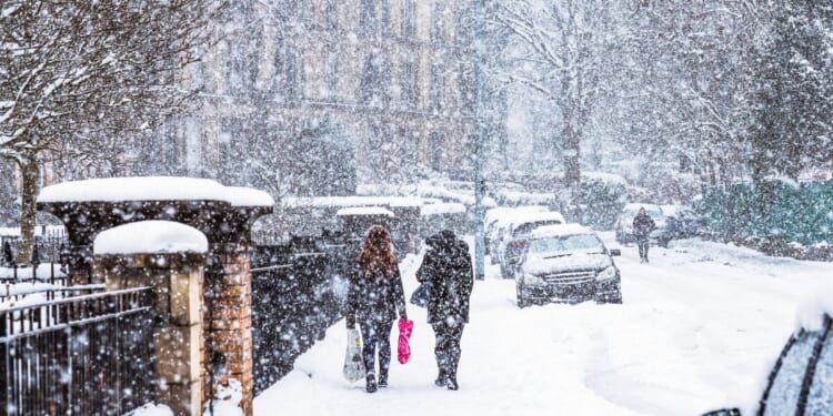
The Met Office has issued new weather warnings for the UK, with snowstorms set to batter the country. The yellow alert comes into place at 3pm today (February 5) and remains active till 3pm tomorrow (February 6).
The forecaster said: “Rain moving north across England today is expected to increasingly turn to snow over higher ground through the afternoon and evening.
“The snow will continue overnight and into Friday morning, although the altitude at which snow settles should steadily rise above that of most major trans-Pennine routes during the early hours of Friday.
“While some sleet or snow is possible to lower levels for a time this evening, accumulating snow is mostly likely above 250 to 300 m with up to 5 cm possible. Much of this melting during Friday morning after the warning ends. Some places above 500 m may see 5-15 cm.”
The Met office has warned that snowy conditions can cause delays and make driving conditions dangerous.
It suggested: “Keep yourself and others safe by planning your route, giving yourself extra time for your journey. Check for road closures or delays to public transport and amend plans if necessary.
“If driving, make sure you have some essentials in your car in the event of any delays (e.g., warm clothing, food, water, a blanket, a torch, ice scraper/de icer, a warning triangle, high visibility vest and an in-car phone charger).”


