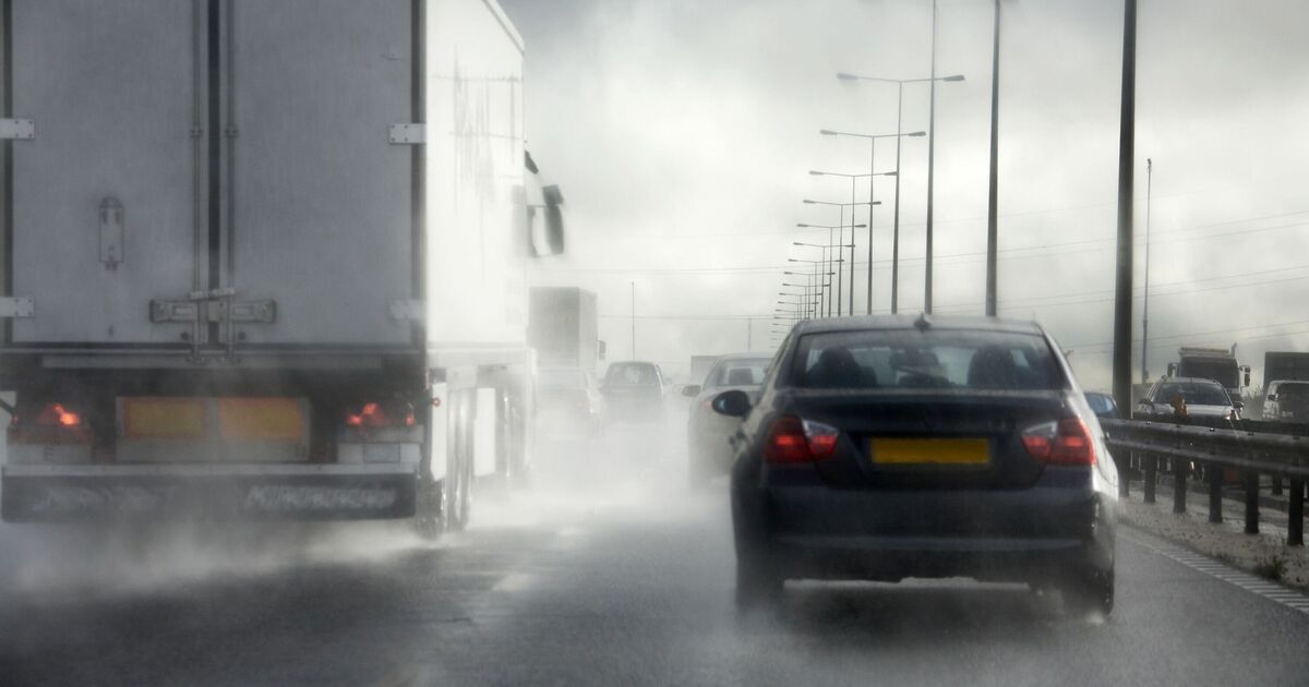
Rain is expected to spread across much of the UK next week, stretching from the far north of Scotland down to the southern coast of England. From Wick in northern Scotland to Southampton in the south of England, it looks like very few areas will escape the grey, rainy skies forecast for Saturday, August 23. New weather maps from WX Charts indicate that rainfall will begin as early as 7 am that morning. Coastal parts of southwestern Scotland are expected to see up to 3mm of rain at this time, while the Midlands and parts of Wales could experience around 2.5mm.
The heaviest rainfall is forecast for the early hours of the following night, around 1am, with WX Charts showing up to 7mm of rain hitting the coastal regions of Galloway, Scotland. Heavy rainfall is also expected in Newcastle, northern Scotland, York, and Leeds.
The Met Office‘s long range forecast for the period of Monday August 18 to Wednesday August 27 reads: “High pressure will be dominant across much of the UK at the start of this period. This will bring a good deal of fine and dry weather with spells of sunshine for many.
“Any showers will probably be confined to the southwest of the UK but could be heavy and thundery. Temperatures are likely to be well above normal, especially in the south.
“Later, it will likely become more changeable with some showers or longer spells of rain at times. Rainfall is expected to be highest in the south where some heavy, thundery showers are possible, with drier conditions further north.
“Some periods of dry and settled weather are also likely to develop at times. Temperatures are expected to be above normal.”
Flood alerts are currently in place in parts of Scotland Wednesday, August 13 and yellow thunderstorm yellow warnings are also active for Wednesday, August 13 and Thursday, August 14.
This primarily affects central Scotland, Tayside, Fife, Grampian, the Highlands, Orkney, Shetland, and parts of southwest Scotland and the Borders.
If you live in an area prone to flash flooding, the Met Office recommends preparing a flood plan and emergency flood kit.
Secure loose objects like bins, garden furniture, trampolines, tents, gazebos, sheds, and fences before strong winds arrive. Check road conditions and public transport timetables to avoid delays and adjust travel plans if necessary.
Being ready for power cuts by gathering torches, batteries, and phone chargers can also make a big difference. If you are outdoors and hear thunder, the Met Office says you should seek shelter in a safe, enclosed space such as a car.
Avoid sheltering under or near trees or other tall structures that could attract lightning, and if you are on high ground, move to lower areas.