A 2,000-year-old piece of fruit was among the discoveries from a recent excavation at an ancient Roman fort.
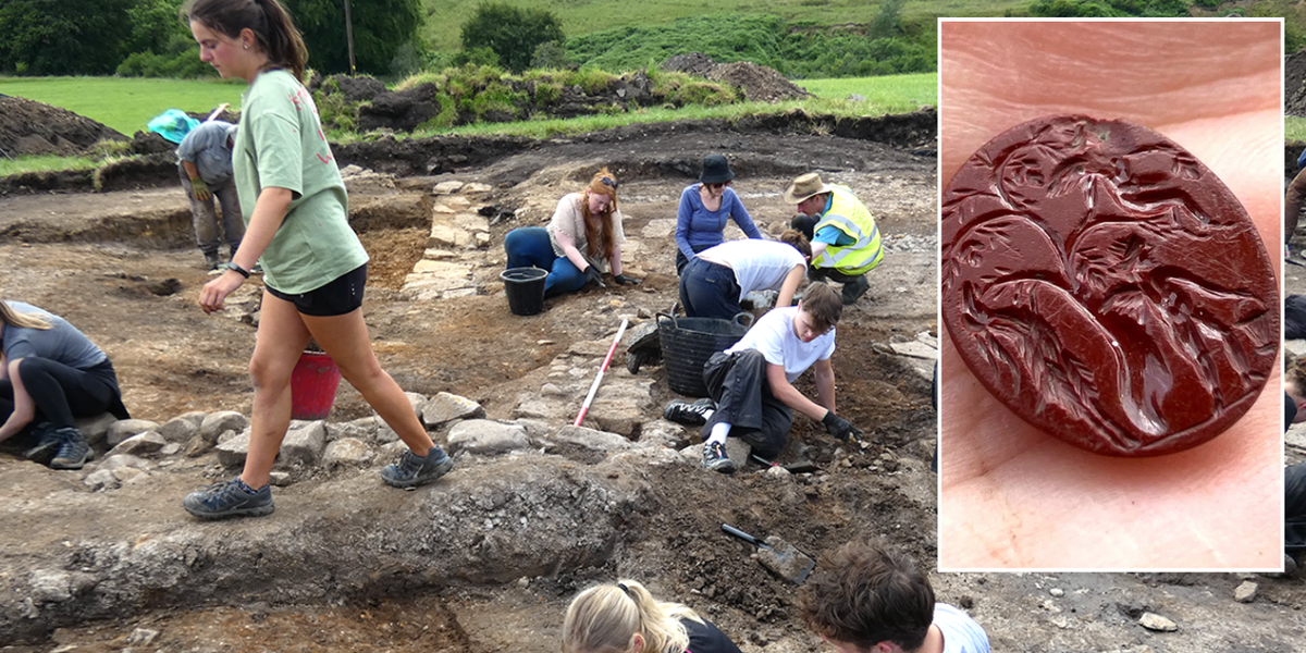
Officials from Northumberland National Park said in late October that a record number of artefacts had been uncovered at Bremenium Fort in High Rochester.
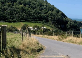
The fort lies more than 20 miles north of Hadrian’s Wall and about 33 miles north-west of Newcastle upon Tyne.
With the help of more than 70 volunteers and students, excavators recovered a range of imported Roman pottery, including pieces made in Spain that were likely used to transport olive oil.
The fruitful dig also brought a variety of military items to light, including a spearhead and a slinger’s lead shot.
But it was the preserved fruit that generated the most intrigue, prompting officials to make an educated guess about its identity.
After close inspection, they concluded it was a plum.
In a statement, Northumberland National Park Authority historic environment officer Chris Jones said it was “inspiring to see so many people, of all ages, engaged in the uncovering of their shared heritage.

Officials said the preserved fruit was a plum
|
Elaine Vallack/Redesdale Archaeology Group
“These discoveries help us understand how people in the past lived from the remains they left behind, which have made such a lasting imprint on the landscape.”
The ancient artefacts were described as “exceptional, in both quantity and quality” by excavation supervisor Bob Jackson of the Redesdale Archaeological Group (RAG).
Mr Jackson said: “The range of pottery and metalwork, especially the amphorae and the intact brooches, offers new insights into trade, craftsmanship and daily life at Bremenium. It’s a privilege to work with such a committed team.”
Earlier this month, it was revealed that an international archaeological collaboration had mapped approximately 185,000 miles of Roman roads across the ancient empire.

Archaeologists were digging at the site in the North East of England
|
Northumberland National Park Authority
This nearly doubled the 95,000 miles documented in the Barrington Atlas of the Greek and Roman World, long considered the definitive reference.
Archaeologists and historians from institutions in Aarhus, Barcelona, Cambridge, Lyon, Istanbul and others contributed to the most comprehensive reconstruction of Roman transport infrastructure ever undertaken.
One key finding was that the transport system was far more intricate than previously understood.
The research revealed an interconnected web of major highways and secondary routes linking the empire from Wales to the Levant.
An extraordinary range of historical materials was used to reconstruct the ancient network, including Roman travel itineraries, 19th-century camel routes, Soviet military charts, Ottoman surveys and declassified American spy-satellite images.