The Met Office has issued new yellow weather warnings as heavy rain is expected in England and Wales. Spanning 31 hours the weather warning says periods of heavy rain and strong winds are likely to cause flooding and disruption to travel in places.
Kicking off at 2am tomorrow morning, January 23 the yellow warning for wind and rain will remain in force until 9am Saturday morning, January 24. Covering southwest England and south Wales the warning could bring up to 40mm of rain. The weather front named Storm Ingrid by the Portuguese national weather service IPMA with bring gusts of up to 60 mph near the coast.
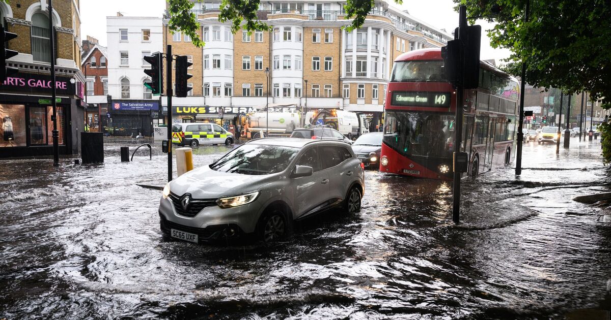
The howling gales and heavy rain will drench 23 areas in two interludes on Friday before finally easing Saturday morning.
A Met Office spokesperson said: “An nitial band of rain early Friday could bring a further 10-20 mm of rain in places in a few hours, with this falling on already saturated ground.
“A drier interlude is expected before further bands of locally heavy rain and showers push north into the area through the afternoon, evening and overnight.
“A further 15-20 mm of rain is expected to fall widely across the region by Saturday morning, with 30-40 mm possible in places. Given the saturated nature of the ground, this is likely to lead to some flooding.
“This second period of rain will be accompanied by strong winds and coastal gales, along with some very large waves.
“Gusts are widely expected to be 45-50 mph inland and up to 60 mph near coasts, with winds peaking during Friday evening before gradually easing overnight and into Saturday morning.”
The weather agency is warning that “some short term loss of power and other services is possible” and “some delays to road, rail, air and ferry transport expected”.
Some areas may experience short term loss of power and other services, a jandful of homes and businesses are also at risk of flooding.
Those along the shore are being warned that “coastal routes, sea fronts and coastal communities will be affected by spray and/or large waves”.