The Met Office has named the areas of the UK which could be facing snow on these dates between the end of January and the first day of February.
The forecaster says snow, sleet and colder conditions are expected to return from Friday, January 23, until Sunday, February 1, in its long-range forecast.
A ‘high-pressure’ cold blast will push in from the East, clashing with Atlantic weather systems, it said.
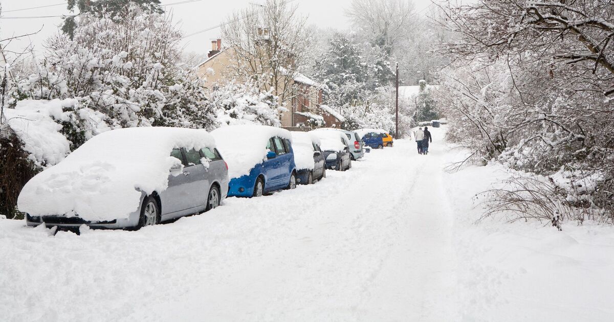
While the milder Atlantic front will dominate for the most part, bringing with it heavy rain, some parts of the UK could see snow again, such as the far northeast of England. This would likely include areas such as Newcastle, Durham and Sunderland and the border with Scotland.
The Met Office said: “Throughout this period, the UK will see a battle between Atlantic weather systems attempting to push in from the west while high pressure and colder, drier conditions attempt to exert some influence from the east.
“Initially, milder Atlantic air is expected to dominate for most parts, with showers or longer spells of rain.
“Temperatures are likely to be around or a little above average, except in the far northeast where it is likely to be colder with some sleet or snow.
“There is then an increased chance that conditions will turn more widely colder and drier. This aspect of the forecast is still somewhat uncertain but the potential transition to colder weather also increases the chance of snow across parts of the country.”
Following this, the start of February is likely to bring “wintry hazards” to the northeast too, with “widely unsettled” conditions possible in the first two weeks of February.
It added: “Initially, slowly evolving weather patterns are most likely in the vicinity of the UK, with low pressure typically to the west or southwest and high pressure to the northeast.
“This configuration brings an increased chance of cold conditions affecting the UK, and the associated risk of wintry hazards at times. Deeper into February, and whilst confidence is naturally low, there may be a transition to more widely unsettled conditions and a corresponding recovery in temperature back closer to average.”