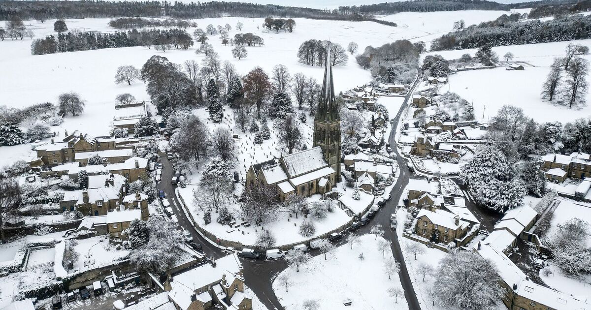
A new forecast has predicted the New Year could be brought in with a blanket of snow, as the latest long-range Met Office forecasts predict temperatures may start to plummet with the wintry showers soon to follow. While the first half of December has been wet, mild and extremely unsettled, the Christmas period looks set to change all that with a new weather system bringing cold air down from the Arctic, making Christmas feel particularly nippy.
Their forecast said: “There are signs that conditions may become less disturbed heading towards the Christmas period, with the potential for high pressure to build bringing drier conditions, with the risk of overnight frost and fog patches increasing.”
The latest models from WX Charts have even forecasted the potential for a white Christmas, with swathes of wintry showers sweeping across the UK, with snow showers highlighted from Scotland all the way down into the Home Counties.
However, looking at the period from December 27 until January 10, the Met Office says high pressure is set to move over the UK – bringing an end to the unsettled conditions.
While this may mean typically drier conditions, the chance of cold wind and showers still remains, creating the perfect conditions for some snow – especially over high ground in the north of England and Scotland.
The agency predicted: “High pressure will probably become more influential across the UK during this period.
“This means an increasing incidence of dry weather compared to the winter so far. Spells of rain and strong winds remain possible, these most likely in the north with a risk of some snow at times. Temperatures are expected to be close to normal overall.”
The forecasters, however, warn about the changing nature of weather systems in the long-range forecast. They warn: “When looking at forecasts beyond five days into the future, the chaotic nature of the atmosphere starts to come into play.
“Small events currently over the Atlantic can have potentially significant impacts on our weather in the UK in several days’ time.
“Therefore, whilst we can still forecast the general feel of the weather to a relatively high level of accuracy using our ensemble models, it becomes harder to offer local detail to as high a level of accuracy as our shorter range forecasts.”