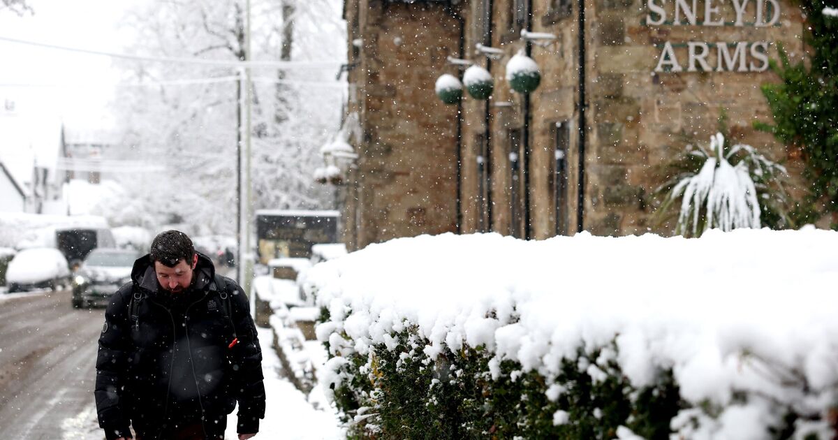
A cold front is set to sweep the UK over the next couple of days, bringing with it a barrage of snow that could cover 21 counties. So far, November has been reasonably mild with forecasts staying firmly in the double digits; however, this will soon be well in the past when temperatures plunge to below zero.
The weather forecaster believes high pressure will settle the weather across the UK, bringing widespread cold conditions and some wintry hazards. While Scotland has already seen cold air for the past couple of days, with some snowfall already in places like Inverness, this cold air will now spread south to cover the whole of the UK by the end of the weekend. The Met Office says temperatures could plummet to a freezing -7C.
Met Office Deputy Chief Meteorologist Dan Holley, is warning that Brits should keep an eye on the forecast as weather warnings for snow and ice could be issued.
Parts of south-west Scotland, south Wales, south-west England and Northern Ireland have been hit with yellow warnings, as outbreaks of rain arrive on Tuesday morning.
The warnings are in place from Tuesday morning, with warnings issued in Wales and south-west England on Wednesday too.
Mr Holley said: “As Storm Claudia retreats to the south, high pressure to the northwest will drive a cold northerly flow from the Arctic across the UK. This will bring much colder conditions than of late and, whilst generally drier than recent days, there will also be a risk of wintry hazards, such as snow and ice.
“There will be widespread frosts across the UK, with temperatures dipping as low as -7°C in places next week, and daytime temperatures staying in single figures across the country. Couple this with a brisk northerly wind, and there will be a marked wind chill. This will be a notable change in our weather after a prolonged spell of above-average temperatures.
“People should keep an eye on the forecast in their area as it is possible warnings may be issued for snow and ice at times.”