New weather maps predict heavy snow will batter the UK from Scotland to Cornwall next week. The Peak District looks to be the worst hit area in England during the early hours of January 11, with a staggering 44cm predicted to fall at midnight, according to maps by WXCharts.
Wales, northern Scotland and the North of England will be the worst hit overnight, according to the forecaster. In northwest Wales and over Snowdonia, up to 36cm of snow could dump overnight, although its south coast could be spared. The majority of northern England will be battered with at least 14cm of snow, reaching more than 20cm in Sheffield, while East Yorkshire could be covered by a staggering 26cm.
In the north of Scotland, a shocking 60cm of snow has been forecast. The major cities of Glasgow and Edinburgh could get off with a light dusting. Northern Ireland may also experience lighter snowfall, with less than 10cm predicted over most areas.
Plummeting temperatures on Sunday, January 11, mean there could be hazardous driving conditions, especially in Scotland and Northern Ireland, where it will largely sit below freezing, and could plunge as low as -6C during daylight hours at 12pm. Maps predicted the majority of England and Wales will reach just above freezing at midday.
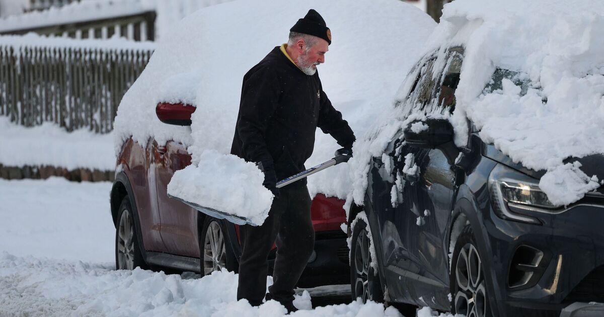
The Met Office forecast differs, but the agency has issued several weather warnings as an Arctic blast of air moves its way over the country, bringing snow and freezing temperatures.
On January 7, purple weather maps by WXCharts indicate snow will settle over the whole country from Inverness to Cornwall.
Despite the intense conditions, the freezing weather front looks like it will start to recede from January 9, leaving parts of the south dry. By Sunday, January 11, the majority of Southern England and the Midlands look to be free from snow.
An update issued yesterday by the Met Office, which acknowledges that snow is difficult to predict, said: “Cold Arctic air now covers most of the UK, with temperatures well below average, widespread frost and ice and an increasing risk of snow showers.
“Snow is expected to settle on the ground in some areas particularly in northern and some central areas. There is also a risk of widespread ice, making travel hazardous.”
Chief forecaster, Neil Armstrong, said this cold spell “could last well into next week” and wintry hazards will continue with more weather warnings “likely”.