
Some areas could even experience up to 3.9 inches of snow per hour (Image: Getty)
Snow could soon return to large parts of the UK, according to new weather maps, raising the prospect of another wintry spell before the end of January. The start of the year has already brought snow and icy conditions across England, Scotland, Wales and Northern Ireland, with widespread snowfall, several yellow and amber weather warnings issued by the Met Office, and hundreds of schools forced to close.
Runways at both Birmingham Airport and East Midlands Airport were even closed overnight on January 8 after heavy snowfall brought by Storm Goretti, leading to flight delays and cancellations. Now, fresh data from forecaster WXCharts suggests snow may be set to return once again.
READ MORE: 90 counties hit by snow up to 72cm as temperatures drop to -6C – full list
READ MORE: Snow maps show 713 mile blizzards as far south as London – list of 23 cities hit

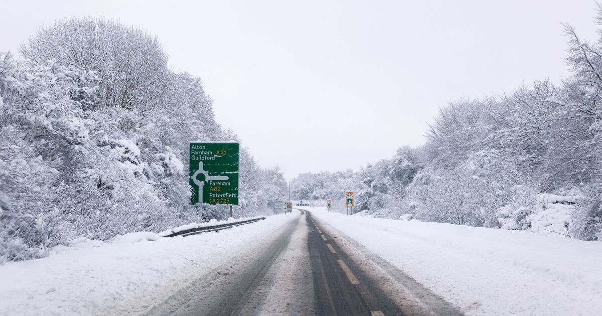
WX Charts forecasts snow across Northern Ireland, Wales, and South West England (Image: WX Charts )
New snowfall maps from WXCharts show a vast band of snow indicated in purple stretching for around 514 miles across the UK at 6pm on Tuesday, January 27. The forecast indicates snow developing across Northern Ireland before extending through Wales and into large parts of England.
Snowfall could begin in western Northern Ireland near Strabane before pushing across Wales and large swathes of England, reaching as far south as Southampton, Bournemouth, Devon and Cornwall, including Exeter. The band of snow also covers major areas such as Bristol, Bath and Swansea.
The WXCharts map shows that some locations could see snowfall rates of up to 3.9 inches per hour, especially around coastal areas such as Portsmouth, Belfast and parts of eastern Wales.
The Met Office, however, offers a more cautious view. Its long-range forecast for the period of January 23 to February 1 reads: “Throughout this period, the UK will see a battle between Atlantic weather systems attempting to push in from the west while high pressure and colder, drier conditions attempt to exert some influence from the east.
“Initially, milder Atlantic air is expected to dominate for most parts, with showers or longer spells of rain.
“Temperatures are likely to be around or a little above average, except in the far northeast where it is likely to be colder with some sleet or snow. There is then an increased chance that conditions will turn more widely colder and drier.
“This aspect of the forecast is still somewhat uncertain but the potential transition to colder weather also increases the chance of snow across parts of the country.”
The UK had a cold start to the year, with widespread snowfall causing disruption and forcing hundreds of schools to close earlier this month.
The country also recorded its coldest January night in 15 years. Temperatures in Altnaharra, in the Scottish Highlands, dropped to –18.9C overnight on January 9, making it the lowest January overnight temperature since 2010.
According to the Met Office, the lowest January temperature ever recorded in the UK was –27.2C, measured in Braemar, Aberdeenshire, on January 10, 1982.