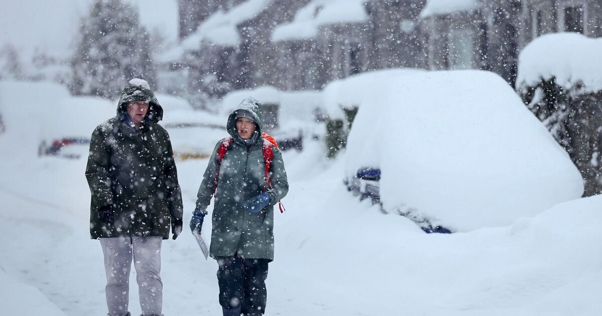
Britain is likely to be blanketed by wintry weather with 15 inches of snow accumulating in several regions. The latest weather maps for January 20 show that freezing conditions will cover parts of Scotland and England as the temperature level plunges to -4C.
WXCharts weather maps, which are prepared using the MetDesk data, show that 14 counties in England will experience heavy snow showers in a few days. The dramatic weather conditions came days after the Met Office issued a number of yellow and amber warnings for many parts of the UK. A mix of heavy rain, snow and wind is likely to cause travel chaos on Sunday (January 11) as an amber warning in Scotland remains in place.
However, the latest maps show that the unsettled conditions will continue for more days. According to the weather maps, areas in England will again experience the snow at around 6am on January 20. Parts of Newcastle and Manchester will see around 1-2cm of snow, the maps have suggested.
Areas in Scotland are likely to experience heavy snow with 15 inches of snow falling near Fort William.
The Met Office‘s long-range forecast between January 15 and 24 reads: “Changeable and occasionally unsettled conditions are expected across the UK during this period.
“Low pressure systems moving in from the Atlantic will tend to dominate, meaning showers or longer spells of rain for much of the UK.
“Some heavy rain or showers are likely at times, most often across high ground in the west where rainfall totals will probably be highest.
“Periods of strong wind or gales are possible, especially around coasts and if any deep areas of low pressure develop in the vicinity of the UK.
“Some short-lived spells of mainly dry weather are likely between weather systems. Temperatures are expected to be close to or slightly above average for the time of year overall.”