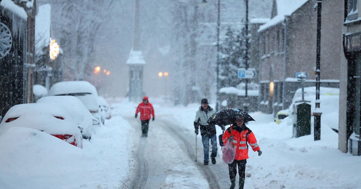
Britain is bracing for snowfall in just a few hours as the Met Office issues an amber warning, with the potential for travel disruptions and power cuts. Separately, new maps from WXCHARTS, which utilise MetDesk data, have revealed that snow is expected on Sunday from 6am. Much of the country will be blanketed tomorrow morning, from Cape Wrath in the North of Scotland to the Peak District in Derbyshire.
By 9am, parts of Aberdeenshire and the Highlands could see as much as 45cm of snow – the most out of anywhere in the UK. Levels in England will be significantly lower, with the worst-affected areas in the North West expected to see 15cm. Separately, the Met Office forecast for Sunday reads: “Turning wet and windy, with a spell of snow across the north and a risk of ice from freezing rain.
“Strengthening winds with coastal gales. Mild in the west.”
The weather agency has also issued yellow and amber weather warnings for tomorrow, warning of wind, rain, snow, and ice. It’s a rare amber alert in place for snow across Scotland from 3am until 3pm.
It reads: “Travel delays on roads are likely, stranding some vehicles and passengers. Some delays and cancellations to rail and air travel are likely.
“There is a good chance that some rural communities could become cut off. Power cuts are likely, and other services, such as mobile phone coverage, may be affected.”