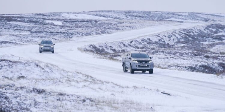
It looks like the start of 2026 will be an incredibly cold one as a brutal blizzard is to sweep the country in just a matter of days. Spanning 792 miles from Plymouth to Kirkwell snow will cover almost the entirety of the country.
As Brits look forward to ringing in the new year millions will want to ensure they have their snow boots and hats at the ready as the latest cold front looks set to have no mercy. WXCHARTS weather maps have turned purple and white indicating that snow is on its way. The arctic weather looks likely to blanket the country from midnight on Wednesday January 8 at midnight for a period that could span over 72 hours.
Weather maps indicate that Wales will see the brunt of the snow with the entire country covered under a snow storm. Snow depths in mid Wales could reach 3cm whilst south and north Wales will see 1mm of snow per hour.
Elsewhere, the midlands, northern England and the entirety of Scotland will be blanketed in snow.
By 6am Brits in the South East, South West and East Midlands could all draw back their curtains and uncover snow. Approximately 2cm of snow is likely to fall in these regions with London predicted to see snow fall.
Meanwhile, key cities in the North East including Newcastle and Sunderland are estimated to see 2cm of snow fall every hour.
The rest of Northern England, Wales and Scotland will all be covered in snow with depths expected to reach 3cm.
And the snow will only continue to intensify as we fast forward to midday on January 9 with Plymouth forecast to see snow.
The only areas to be spared from the bonechilling snow will be areas along the south coast such as Bournemouth and Brighton.
Weather maps predict that the huge band of snow will stick around into the weekend with almost the whole of the country covered once again indicating that snow might fall for a massive 72 hours.
Sseparately, in its long range forecast for this period The Met Office says: “Cold northerly winds, initially across Scotland are now expected to become dominant across the whole UK in the first week of January. These will bring wintry showers (often of snow) to many coastlines (and areas just inland of these) that are exposed to onshore winds.
“There are likely to be some more coherent bands of rain, sleet and snow working south, and these may bring a risk of more prolonged wintry precipitation affecting some inland areas.”


