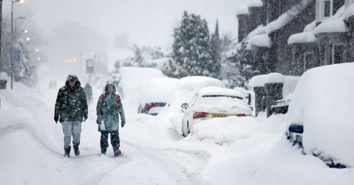
Brits are set to see a huge amount of snow stretch across the country, with large parts of the UK to be covered, according to weather maps. The snow will cover most areas, with 51 counties across England and Scotland expected to be affected. A few places will miss out; maps covered with purple indicate where snow will hit hardest.
On Monday, January 26, at 6 pm, maps from WXCHARTS show snow will stretch from the Scottish Highlands to Birmingham, a huge 564-mile stretch. Maps indicate that on January 27, at midnight, snow will cover the UK, extending from Scotland down towards the north of England.
Up to 15cm of snow is likely to be seen, with the deepest levels being in the Cairngorms National Park.
On Wednesday, January 28, at midnight, rain is expected to sweep across the UK, according to maps. Maps show huge stretches of the country to be drowned by rain, with only some small patches to avoid it.
London, Norfolk, and the south east coast will avoid the rain, along with Ayr in Scotland.
A Met Office forecast says: “Slow evolving weather patterns in the vicinity of the UK are most favoured through this period, with low pressure often to the west or southwest and high pressure near or over Scandinavia.
“Areas of rain or showers will attempt to push into some western and southwestern parts of the UK in particular, but possibly making limited eastwards progress.
“Longer, drier interludes are most likely in the east and northeast, though potentially rather cloudy at times.
“A gradual trend towards colder conditions is most likely through this period, especially in the south and east.
“As such, whilst wintry precipitation will be more reserved for hills initially, this may become more likely to lower levels later in the period.”