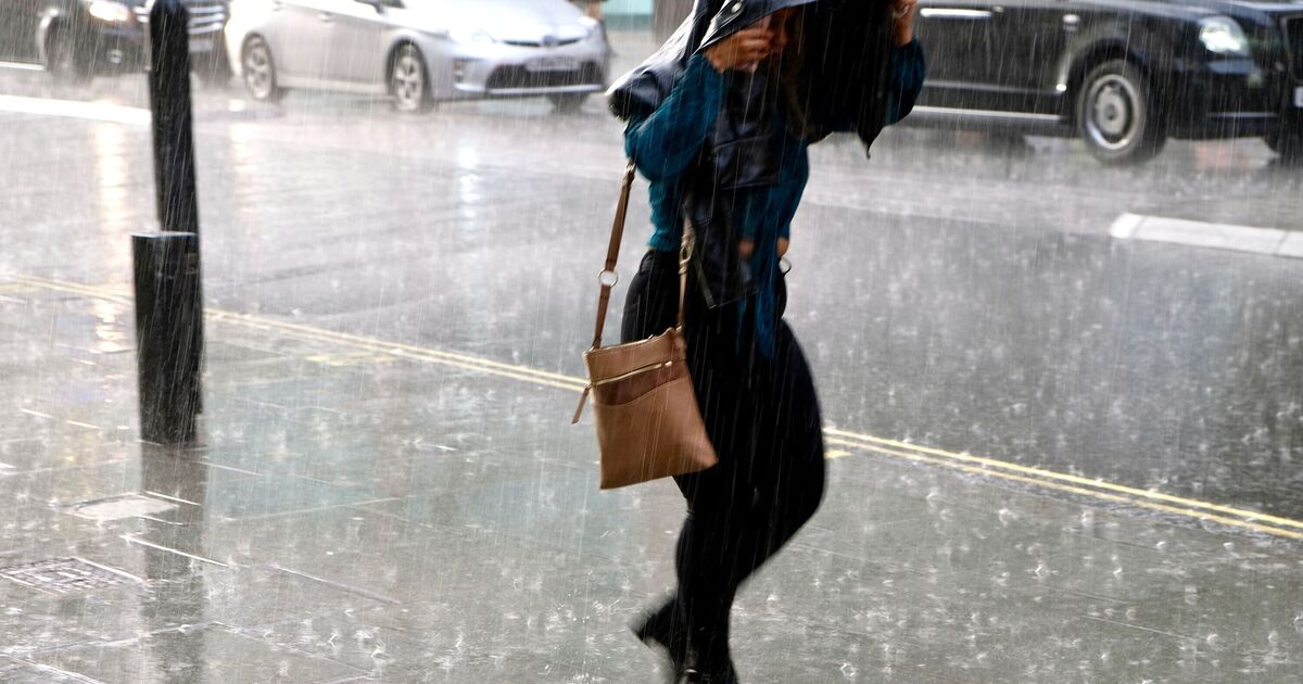
Britain is on course for a soaking as new weather charts reveal the exact date a vast wall of rain is set to sweep across the country. WXCharts maps show heavy downpours arriving on the morning of Saturday, October 4, with intense bands of rainfall pushing in from the Atlantic and targeting the west of the UK first.
The heaviest rain, shown in deep red and orange on the maps, is forecast for north-west England, including Lancashire, Merseyside, and parts of Cumbria, before spreading into the Midlands and Wales. Counties most at risk from the initial deluge include Lancashire, Cheshire, Merseyside, Greater Manchester, Gwynedd, Powys, Worcestershire and Shropshire, with Birmingham and the West Midlands also expected to see heavy showers.
Counties affected by rain:
- Cumbria
- Lancashire
- Merseyside
- Greater Manchester
- Cheshire
- Gwynedd
- Conwy
- Denbighshire
- Powys
- Monmouthshire
- Cardif
- Shropshire
- Staffordshire
- Worcestershire
- Herefordshire
- West Midlands
- Gloucestershire
- Bristol
- Somerset
- Wiltshire
- Hampshire
By the afternoon, rainfall is projected to push further south, reaching Cardiff, Bristol and Southampton.
The Met Office long-range forecast, updated on Friday, September 19, paints a more uncertain picture in the weeks either side of the storm.
From Wednesday, September 24, to Friday, October 3, high pressure is likely to dominate much of the country, bringing settled conditions, chilly nights, and patchy fog.
Only East Anglia and the South East are expected to see occasional showers during this period.
However, by early October, forecasters admit confidence in weather patterns is low, with the risk of a more unsettled, stormy regime growing as Atlantic systems strengthen.
A Met Office spokesperson said: “High pressure will dominate across many parts of the UK at first, leading to widely settled conditions.
“By early October, confidence in the overall weather patterns affecting the UK is very low, but the wettest conditions are most likely towards the west and northwest.”
Looking further ahead into mid-October, the Met Office warns of a shift to more unsettled conditions.
“Slow-moving weather patterns are most favoured at first, possibly with high pressure centred to the west of the UK, and low pressure to the northeast, allowing a slightly cooler and more changeable flavour to the weather to develop.
“Towards mid-October, a more unsettled pattern may become established as areas of low pressure over the North Atlantic move close to or over the UK, with an increased chance in windy conditions at times.”