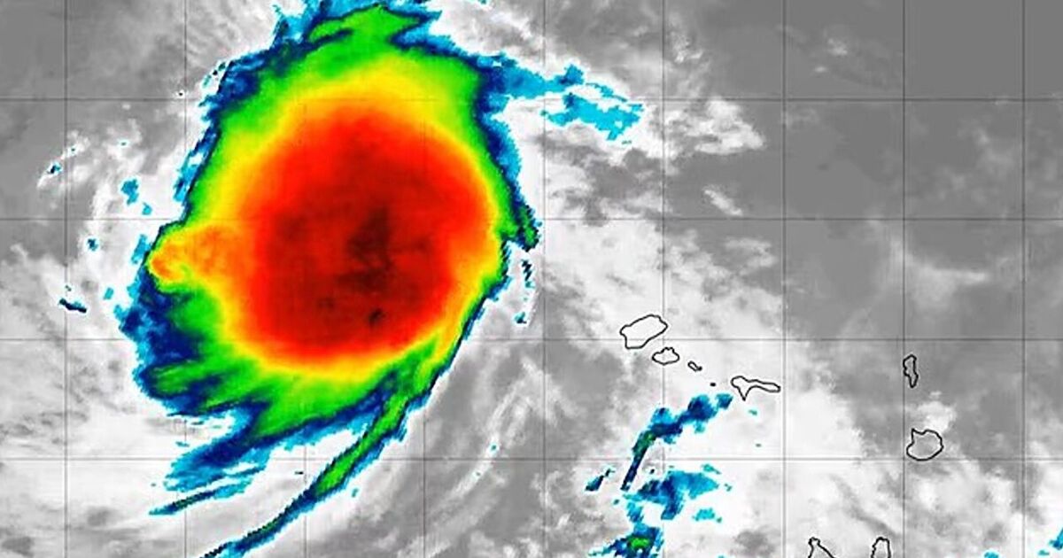
There’s unusually strong agreement among forecast models that Erin will likely intensify this week into a major hurricane by the weekend and will continue to rage well into next week, reports Yale Climate Connections.
As the storm tracks mainly west over the next several days into the central tropical Atlantic, it will pass over progressively warmer sea surface temperatures (SSTs). Along Erin’s path, SSTs are expected to be around 28°C (82°F) by Thursday and could reach about 29°C (84°F) by Saturday.
Early next week, Erin will tap into deeper oceanic heat content as it nears the western North Atlantic, with SSTs running roughly 1°C (2°F) above the mid-August average.
Wind shear is set to remain light to moderate for the next few days and the surrounding atmosphere should stay fairly moist. Shear may increase late in the week before easing by the weekend, so Erin’s intensification could briefly pause. Because Erin is a fairly small system for now, it could strengthen or weaken quickly.
The National Hurricane Center’s initial outlook calls for gradual intensification, with hurricane strength by Wednesday and Category 3 status (major hurricane) by Saturday.
As of Monday, multiple ensemble models were in close agreement that Erin is far more likely to recurve east of North America than to track onto the U.S. East Coast (see Fig. 2). That’s because an upper-level trough that could “pick up” Erin is forecast to sweep across the northeast United States and eastern Canada into the North Atlantic.