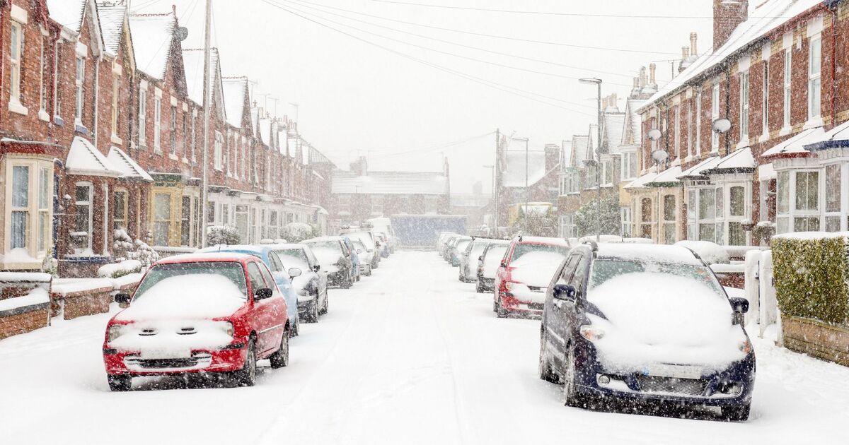
The latest forecasts have shown the exact date 25cm snow blizzards will hit, as all of Britain could be blanketed in days.
Maps from WXCharts released today (Saturday, December 27) are predicting snow across the UK on Friday, January 9.
Scotland, including Aberdeen, Dundee, and Glasgow, as well as Blackpool, Norwich, and Ipswich in England, could be hit by some blizzards.
Other areas in England, including Bristol, Swansea, Southampton, Manchester, Birmingham, and Stoke-on-Trent, could also be covered by snow falling at 10mm per hour, WXCharts maps also showed. Maps show 25cm of snow in the north west of Scotland.
Data collected by WXCharts also showed much of England, Wales, and Scotland with snow on the ground on Monday, January 5, with some areas seeing as much as 13cm of snow depth.
Maps suggest there could be snow on the ground in parts of northern England and Scotland from New Year’s Day. But by January 5, a blanket of snowfall could be covering multiple areas down south as far as Folkestone in Kent, and as far north as Dunbeath, Caithness in Northern Scotland, some 600 miles away as the crow flies.
A long-range forecast from the Met Office, from Thursday, January 1 to Saturday, January 10, reads: “An area of low pressure moves through the North Sea at first, which leads to rain and showers spreading south across the UK. Thereafter, high pressure will likely be centred to the northwest with low pressure to the east, which allows a cold, showery, northerly flow to develop for a time.
“For many this leads to a fairly settled period but there will be some wintry hazards including perhaps snow to low levels to north facing coastal areas at times. Showers will likely spread further inland at times and there may be some windier periods with more prolonged rain, however on the whole it will be drier than average.
“Temperatures will likely be below average for much of the period though it may turn near average or above average later.”