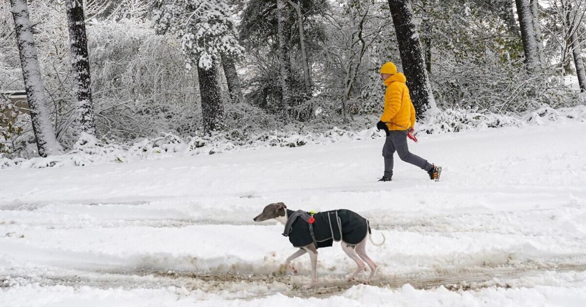
Snow may be seen as far south as Bristol later this month, with the latest weather maps showing up to 20mm falling per hour over some spots. But it looks as if Brits would need to stay up late to catch a glimpse if it does fall, with maps generated on Thursday (December 4) by WX Charts showing snow at midnight on December 16.
Two maps suggest snow is a possibility in 12 days’ time over parts of Warwickshire, Worcestershire, Gloucestershire, Shropshire, Herefordshire, Avon and Somerset. It also looks as if it could be a wet night too, with Scotland, Wales and South West England possibly seeing rain, according to the maps.
It’s important to remember that forecasting snow in Britain isn’t easy. The Met Office describes doing so as “complex” because conditions can change so quickly.
The forecaster says minor variations in wind direction or temperature can mean either rain, sleet or snow. It also warns snow can’t be forecast with “high” confidence weeks in advance.
Snow doesn’t get a mention in the Met Office’s long-range weather forecast, spanning December 9-18.
Instead, the forecaster expects unsettled conditions with low pressure from the North Atlantic heading eastwards to the UK and possibly butting up against higher pressure to the east and north.
The Met Office says as a result, the wettest conditions are more likely in western parts of the country, but everywhere could see heavy rain at times.
It adds: “Strong winds are also likely at times, again more likely in the west. Temperatures are expected to remain close to or above normal.”
Netweather’s forecast for December 15-21 says it will probably be wet at times, particularly in the west and south west.
The forecaster adds there is potential for slow-moving bands of rain leading to large rainfall totals, though the trend later in the week will be on the drier and quieter side.
Netweather says: “It does not look likely that there will be any widespread snow events this week, but it may turn colder later in the week, especially in the east and south of Britain.”
There is also a potential for overnight frosts and fog patches, according to the forecaster.
It says mean temperatures are expected to be closer to average, but generally 1-2C above average in most regions.