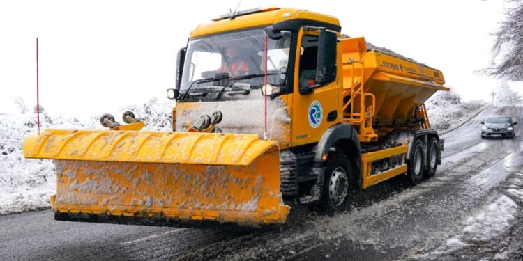
Snow up to nine inches in depth looks set to hit parts of the UK next month, the latest weather maps show. The north of Britain will bear the brunt of a snowy blast on December 10, with Scotland seeing 23cm (nine inches) if the maps generated by WX Charts prove accurate this far ahead.
The counties of the Highlands, Argyll and Bute, Perth and Kinross, Stirling and west Aberdeenshire look set to see the greatest depths of snow, with WX Charts’ maps showing 16-23cm at 6am on December 10. Parts of Cumbria, Northumberland and North Yorkshire might also see a dusting of snow if the modelling proves accurate.
The same date looks set to be chilly too, with minimum temperatures in single digits across the UK by 6pm on December 10. In England, Wales and Northern Ireland, these range from 2-8C while in Scotland the mercury plunges to -1C to -3C, according to WX Charts.
The Met Office‘s long-range forecast for December 4-13 suggests any snowfall during this period is likely over higher ground.
It expects changeable and unsettled conditions as successive areas of low pressure move in from the west or southwest.
These will then tending to become slow-moving, bringing showers or longer spells of rain.
The Met Office says almost anywhere will see some heavy rainfall at times, but the greatest chance of wetter than usual conditions will be in the west.
It adds: “Any snowfall is most likely over higher ground in the north. Strong winds are also a possibility from time to time, again perhaps more likely in western areas.
“Given the changeable pattern originating from the Atlantic, temperatures will most likely be close to or a little above normal.”
Netweather’s monthly forecast says it doesn’t currently look likely that highs to the east of the UK will be far enough north to draw cold air across from the east between December 8-14.
This leads the forecaster to suggest it looks unlikely there will be any snowy spells before mid-December.
Average temperatures over the same period are forecast by Netweather to be above normal and it will tend to be wetter than usual in the west but drier than normal in the east.


