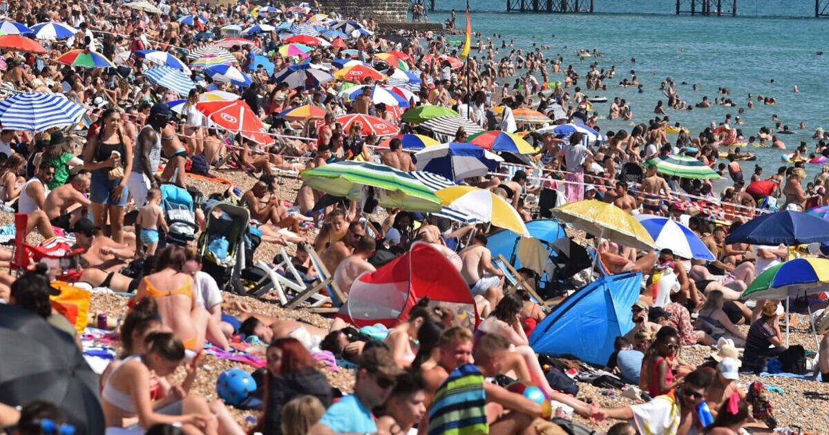
The hot weather experienced in June is set to continue as temperatures climb higher later into the month. A three-day heatwave bringing 31C heat will descend on the nation from June 24.
Weather maps from Netweather turn a deep shade of red, shortly after Britain’s summer officially begins. Starting from June 24, Mediterranean warmth pushing over from the East will bring with it temperature highs 30C-31C in some of England’s cities. At 6pm, Nottingham and Sheffield will face the hottest temperatures with a scorching 31C possible. Surrounding towns and cities will face similar warmth, with Birmingham reaching up to 30C, as well as Bristol. London will hover around highs of 29C on June 24, as the south east will remain above 27C in the evening.
The south west can expect temperatures up to 28C, with Cornwall dipping to a slightly cooler 24C. Northern England is predicted to be hotter, with Leeds sitting at 29C, with Newcastle and surrounding towns seeing 25-29C.
Wales could reach up to 27C, while Scotland and Northern Ireland can expect warm weather up to 25C.
The heatwave shows no signs of slowing down as the following day on June 25. Bristol takes the crown as the hottest city, with forecasted highs of 31C at 3pm. While London will hit 29C in the afternoon, surrounding towns and cities such as Oxford could hit 30C.
In the Midlands, Birmingham will also reach 30C – the same as Manchester.
On Thursday 26, swathes of red continue to take over the UK, as the entire will be subject to figures in the high twenties. At 6pm, Bristol continues to remain the hottest city in England at 31C. Southampton and Manchester will closely follow behind at 30C on the 26, with the capital hitting 29C.
The Midlands will remain between 26C-29C in the evening on Thursday, while the north will reach up to 26C. Wales and Scotland can expect figures of up to 27C-28C on the same day, while Northern Ireland stays between 22-25C.
The Met Office’s long-range weather forecast for June 18-27 says: “Most parts of the UK are expected to be fine and dry at the start of this period, then a broad northwest to southeast split is likely to develop in late June.
“The wettest and windiest conditions are expected to be in the northwest, with spells of rain at times which may be heavy in places. Temperatures will likely be near normal or slightly above.
“More settled in the southeast with conditions drier overall, although some rain will probably spread from the west or northwest at times. There is also the risk that isolated heavy showers and thunderstorms could develop at times.
“Temperatures are expected to be above normal, perhaps with some hot spells in the southeast.”