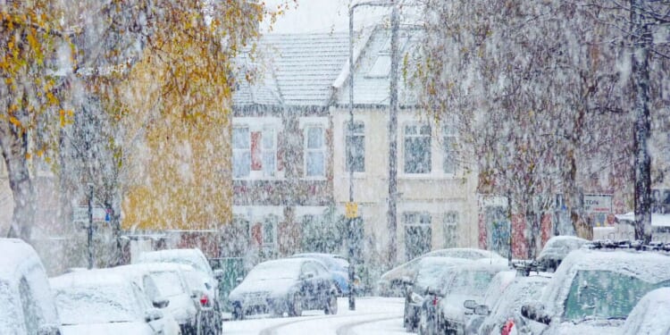
Every county in the UK is set to see snow next month, as wintry weather sweeps across the UK. Forecaster WXCharts has predicted snowfall to occur between January 5 and 13, accompanied by low temperatures.
On January 5, seven counties are expected to see snow. Two more will join them on January 6, and seven on January 7. Twelve other counties will also see snow by January 8, 13 more on January 10, and a final six on January 13. It will be deepest in the northeast (Middlesbrough), at 21cm. The north will be between 20cm and 6cm, the Midlands and East Anglia will be between 11cm and 3cm, and the south will be between 8cm and 1cm. Temperatures in England could drop down to -7C (Lake District), with the north between -6C and -3C, the Midlands and East Anglia between -2C and -3C, and the south between 3C and -2C. Separately, Met Office chief meteorologist Jason Kelly said: “We’re entering a much colder period with Arctic air sinking south to cover the whole country by Friday. Temperatures will fall well below average, with snow showers and snow accumulations likely, particularly in northern and some central areas. There is also a risk of widespread ice.”
Thursday: Snow showers with gales across the far north and northeast. Patchy rain and hill snow clearing further south. Otherwise sunny periods. Some wintry showers in the west. A cold wind.
Outlook for Friday to Sunday: Snow early on Friday in the south and west. Wintry showers affecting areas exposed to the northerly winds. Otherwise often sunny. Cold, and windy at first. Overnight frost and ice.

