One region of the UK is to see snow right at the end of Christmas Day, according to the latest weather maps. A white Christmas is rarer than you think, and parts of the UK don’t often get snow around December 25. It looks like we might miss out again this year, but one region of the UK might still get some snow right after the celebrations, as weather maps show snow hitting a specific corner of the country. December has been a relatively cold month in the UK, and wintry conditions are likely to continue until the end of the year.
Snow may hit parts of England and Wales in the lead-up to Christmas, but the current weather maps from forecaster WXCharts only show snow in Scotland at midnight on December 26, so right at the end of Christmas Day.
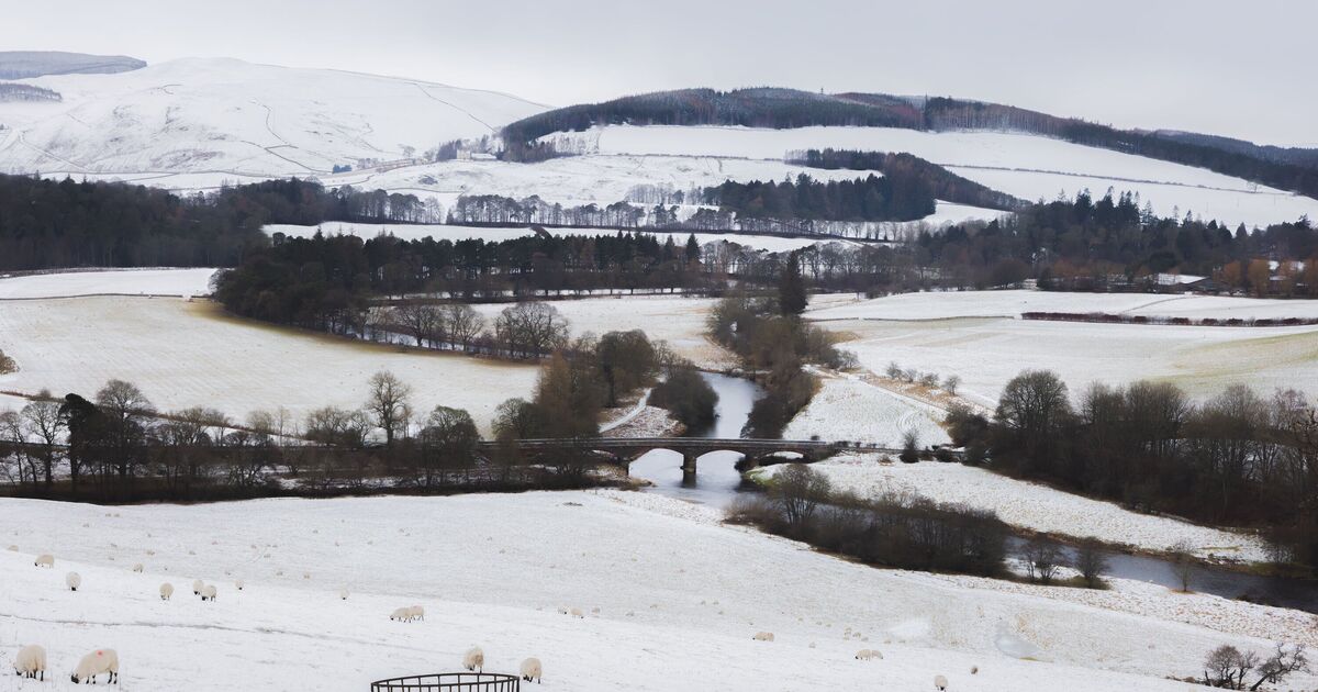
Snow is set to hit a chunk of Scotland in the first hour of Boxing Day, according to WXCharts. The affected area is located just north of Glasgow, spanning multiple counties.
The Scottish counties that will see snow right at the end of Christmas Day, according to WXCharts, are:
- Angus
- Perthshire
- Invernesshire
- Small parts of Aberdeenshire
For the rest of the country, conditions are set to be varied. Maps show much of the North of England and Wales getting hit with rain on Christmas Day and Boxing Day.
Meanwhile, temperatures on Christmas Day and Boxing Day also vary across the country. Temperatures in Scotland will reach low numbers, with freezing temperatures in some parts.
However, it is a much different story in the South of England, for example, where temperatures could reach as high as 12C in regions such as London. Temperatures in Wales will be around 9C or 10C, according to the current maps for December 25.
Separately, the Met Office has said temperatures are likely to be above normal overall across the UK in the lead-up to Christmas Day. From Boxing Day, high pressure will likely mean drier weather before the end of the year.