UK weather maps show there could be a quick end to the “mini heatwave” this week, with temperatures plunging to freezing.
The Met Office is forecasting highs of 26C in the UK on Wednesday, with as many as 25 towns and cities will seeing temperatures of 20C or above.
This will make them hotter than several holiday hotspots in Europe, but not for long.
According to WXCharts, which use MetDesk data, the forecast is looking chilly for the rest of the week.
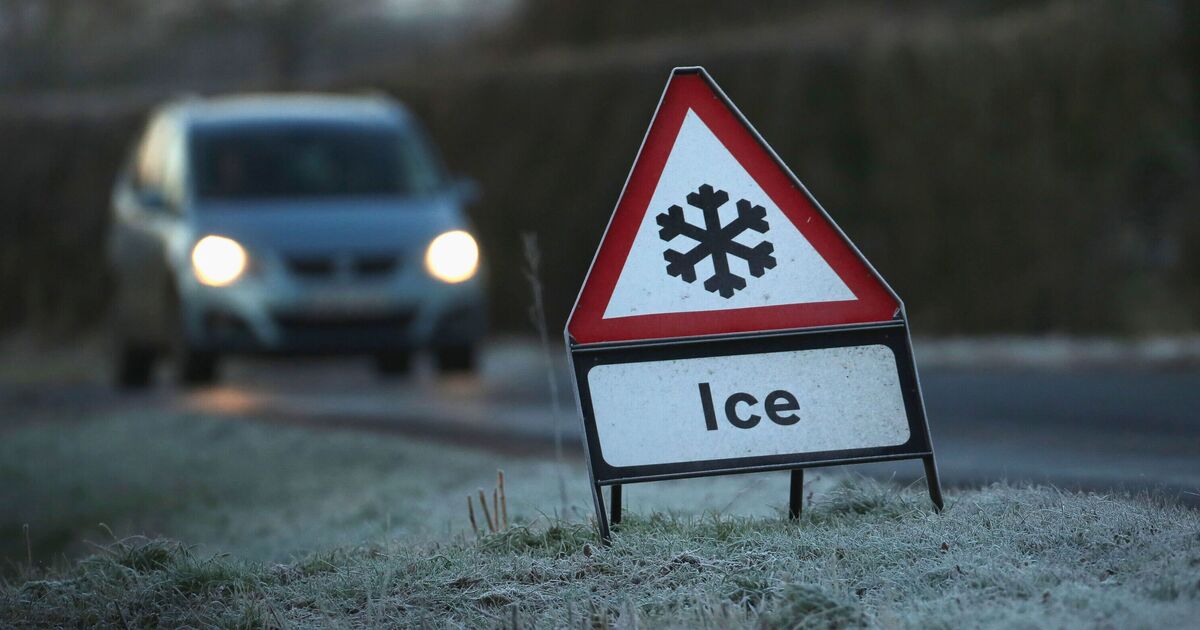
Maps show the majority of the UK will be below 5C for most of Friday, with some areas even dropping to freezing (0C).
But the worst of the weather is to come a few days laster.
On Tuesday, April 14, large parts of Scotland and are forecast to fall to around or below freezing, with temperatures dipping as low as -2C or -3C in places, bringing a risk of frost.
Vast parts of northern England, meanwhile, is set to be between -1C and 0C.
Further south, much of England and Wales will also see chilly conditions, generally between 1C and 4C, while only coastal areas remain slightly milder.
Met Office Chief Forecaster Paul Gundersen said: “We’re seeing a brief but notable spell of very warm weather for early April, with temperatures more typically associated with late spring or early summer.
“This could be the warmest spell at this point in April since 2020, a year many will remember because of the COVID‑19 lockdown.
“However, this warmth will be short-lived, with a marked drop in temperatures and more unsettled conditions developing later this week. In some areas, daytime temperatures could fall by around 10C between Wednesday and Thursday.”